

Marrsfield
Marrsfield Avenue is a long street parallel to the Mayne River that connects Hole-In-The-Wall Road to Station Street, Clongriffin. The development is located on a linear site sandwiched between Fr. Collins Park and the Mayne River. This site is appropriate for taller buildings as it faces south over the district park and is designated as suitable for 6-storey buildings in the Clongriffin-Belmayne Local Area Plan.
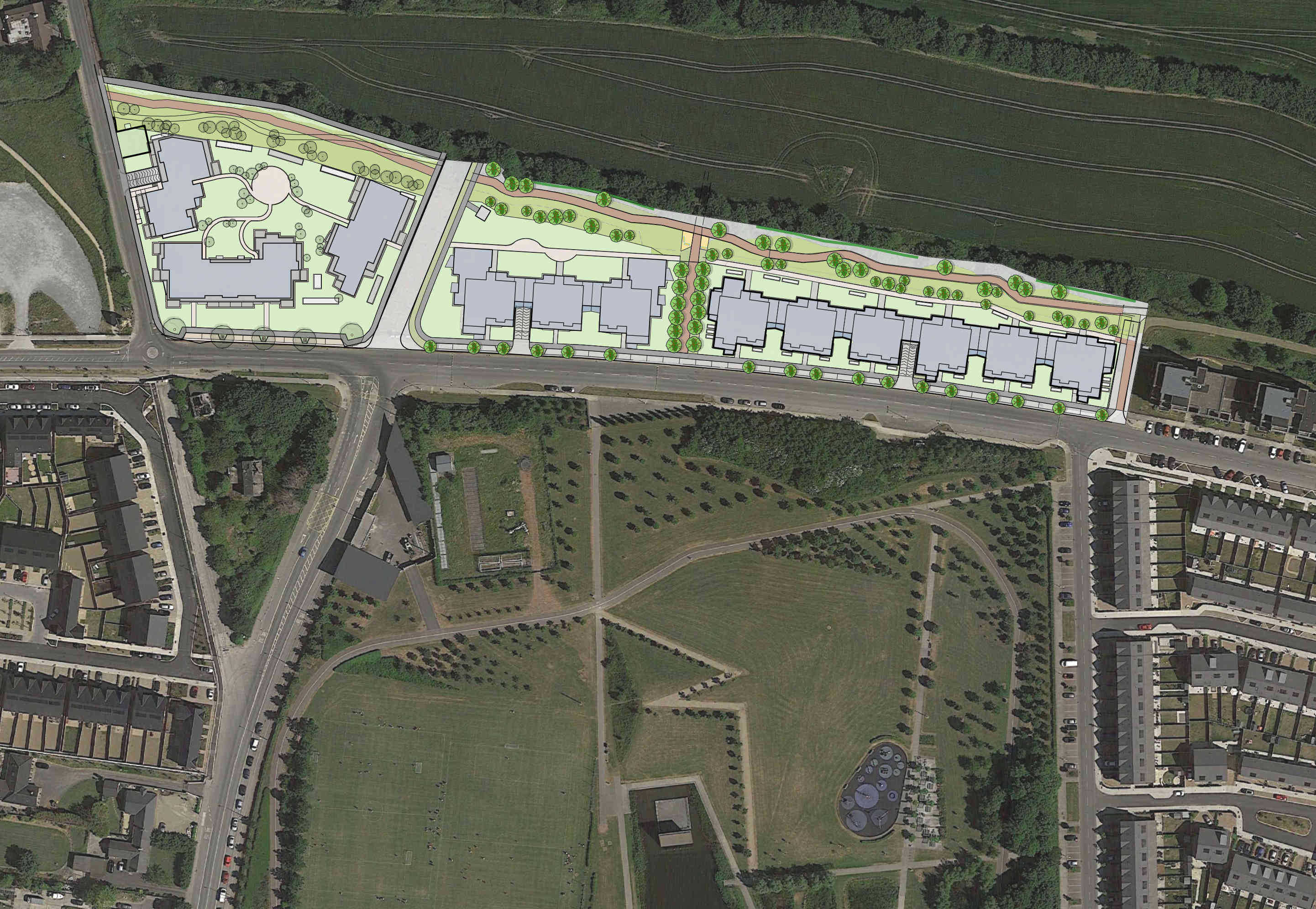 Marrsfield- Site Plan
There are fine views north across the greenbelt lands and unimpeded southerly views into the park, to the city and Dublin mountains beyond. It is an objective of the Local Area Plan to develop a linear public park along the Mayne River riparian corridor and a 750m section of this park will be provided in conjunction with the apartment scheme.
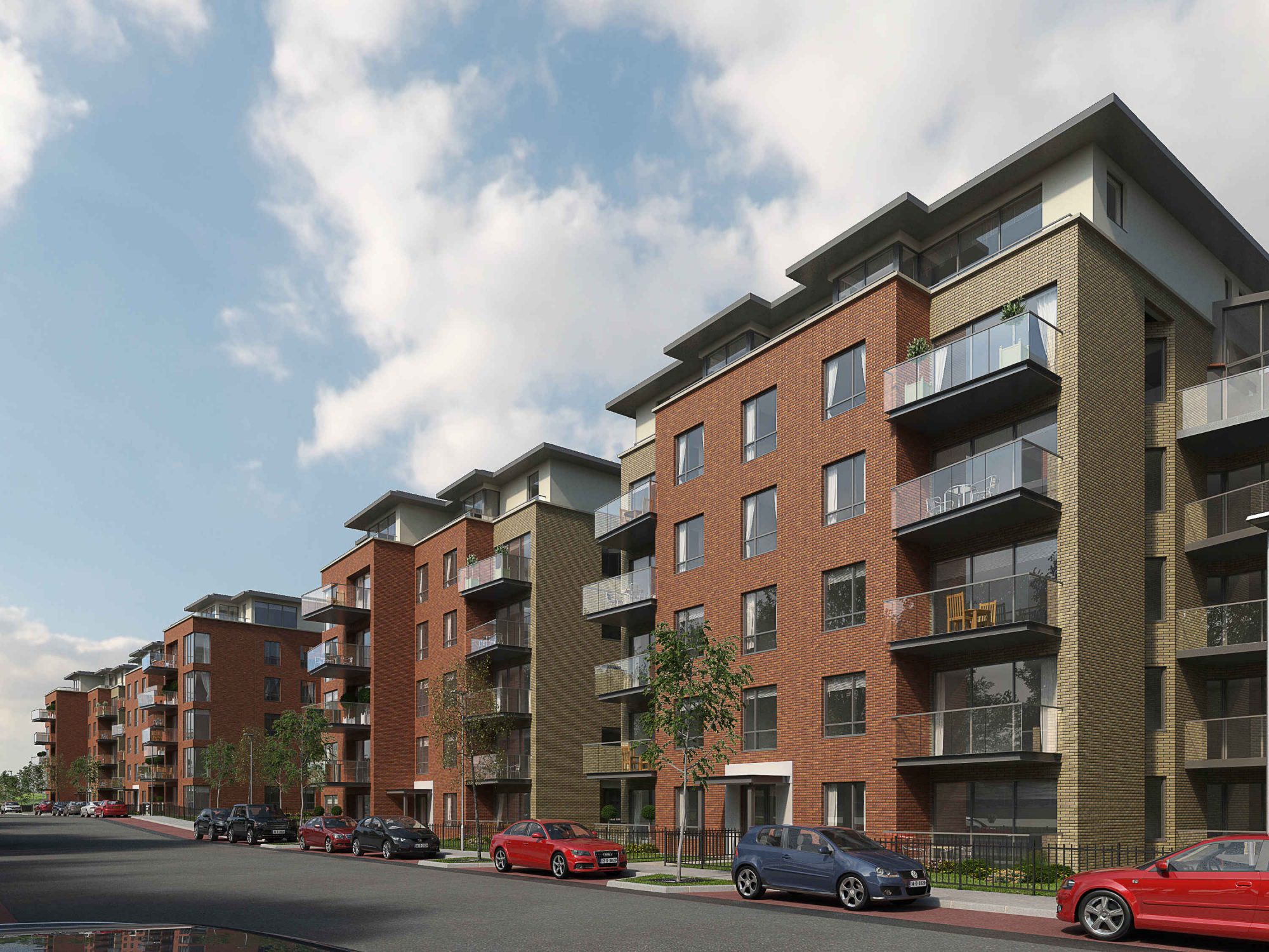
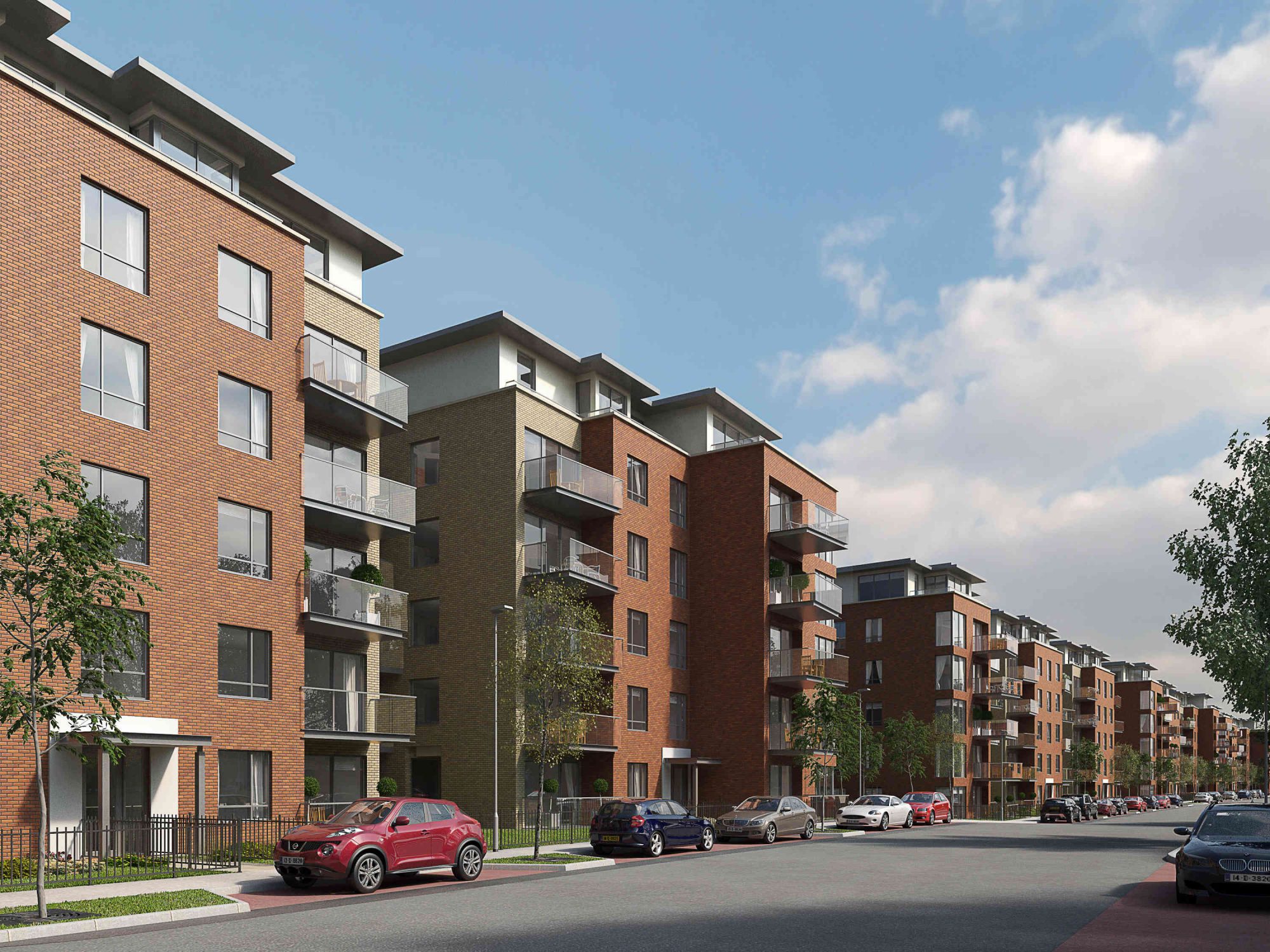
This is a high-density apartment scheme within a 10-15 minute walk to the train station on the central civic plaza and has been designed to suit the rental market. The easternmost block has a U-shaped plan with a shared courtyard in the centre, whereas the middle and easternmost block have a regular, linear plan. The two terraced blocks have an indented profile to ensure all units are dual aspect and have southern exposure. The typical floor-plate has 4 units per core, arranged from a central core and single staircase. The blocks are raised off ground level to give privacy and security to the ground floor apartments, and the accommodate a naturally lit and ventilated basement car park.
The external finishes of the scheme are predominantly brick and glass, to ensure robustness, low maintenance and durability. Two brick colours will generate a finer grain rhythm identifying each apartment core and its entrance within the terrace. The overall appearance is of a well-articulated and defined urban edge to the northern boundary of Fr. Collins Park.
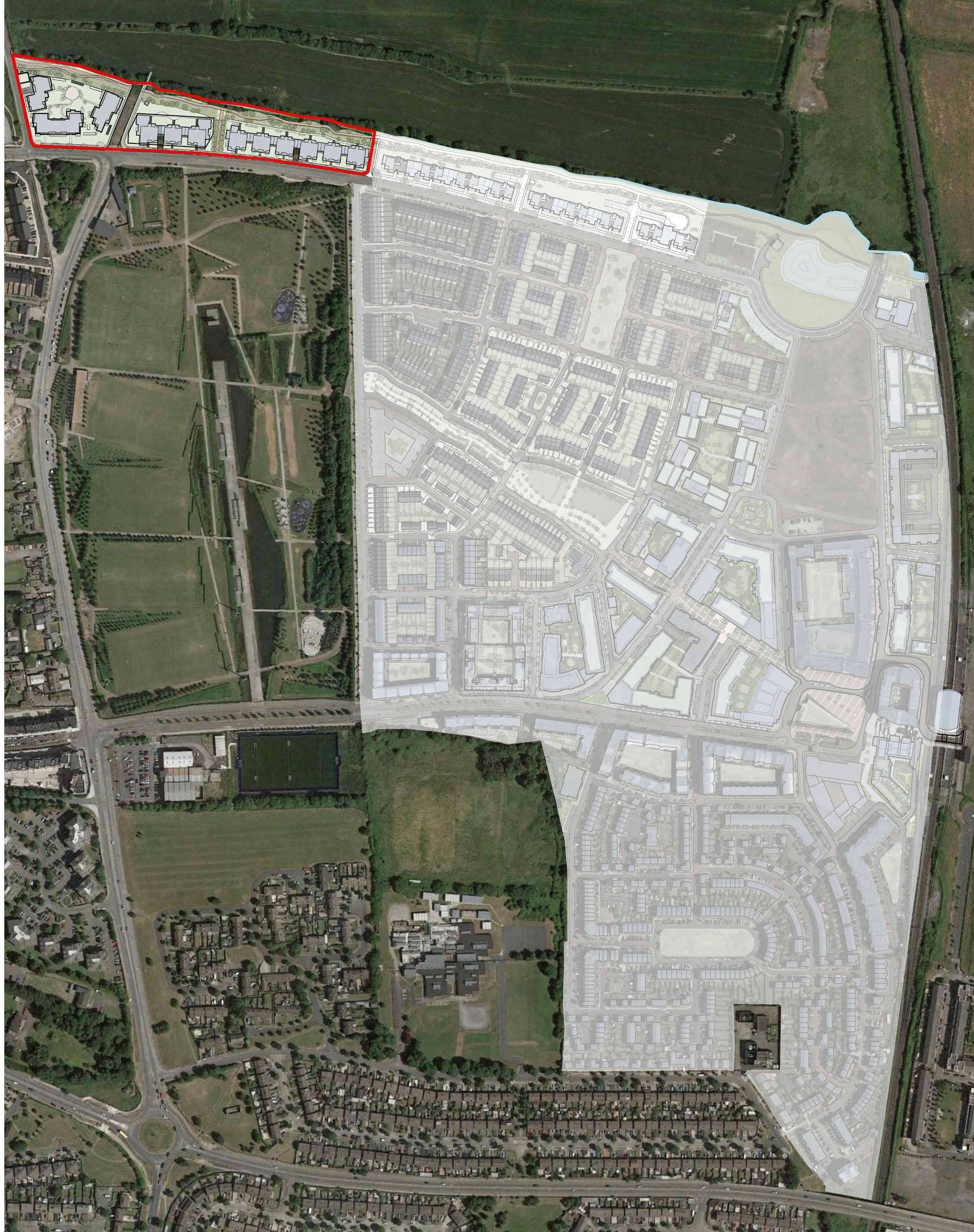
Marrsfield in the context of the Clongriffin Masterplan