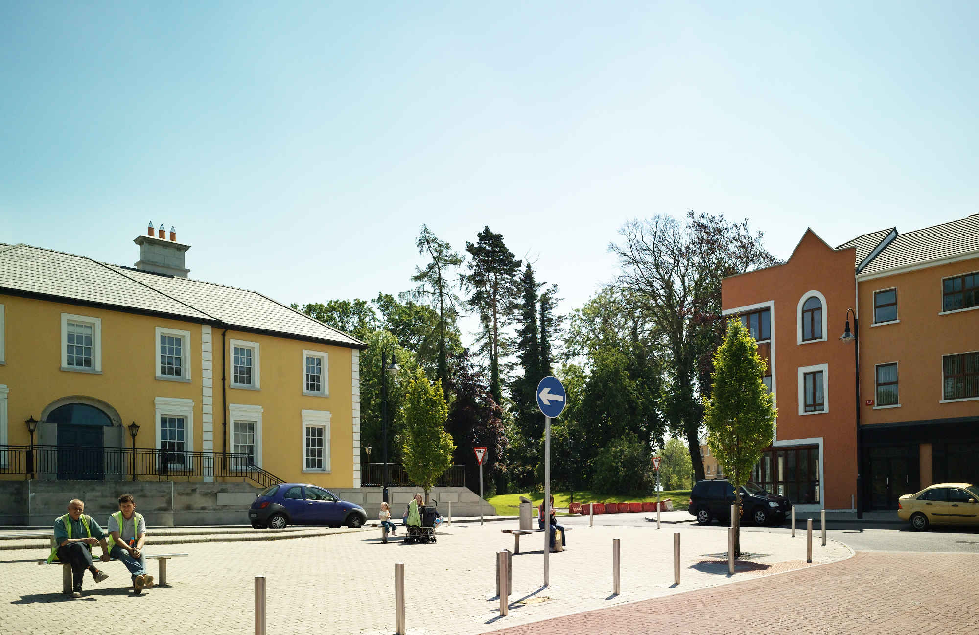
Ongar Village
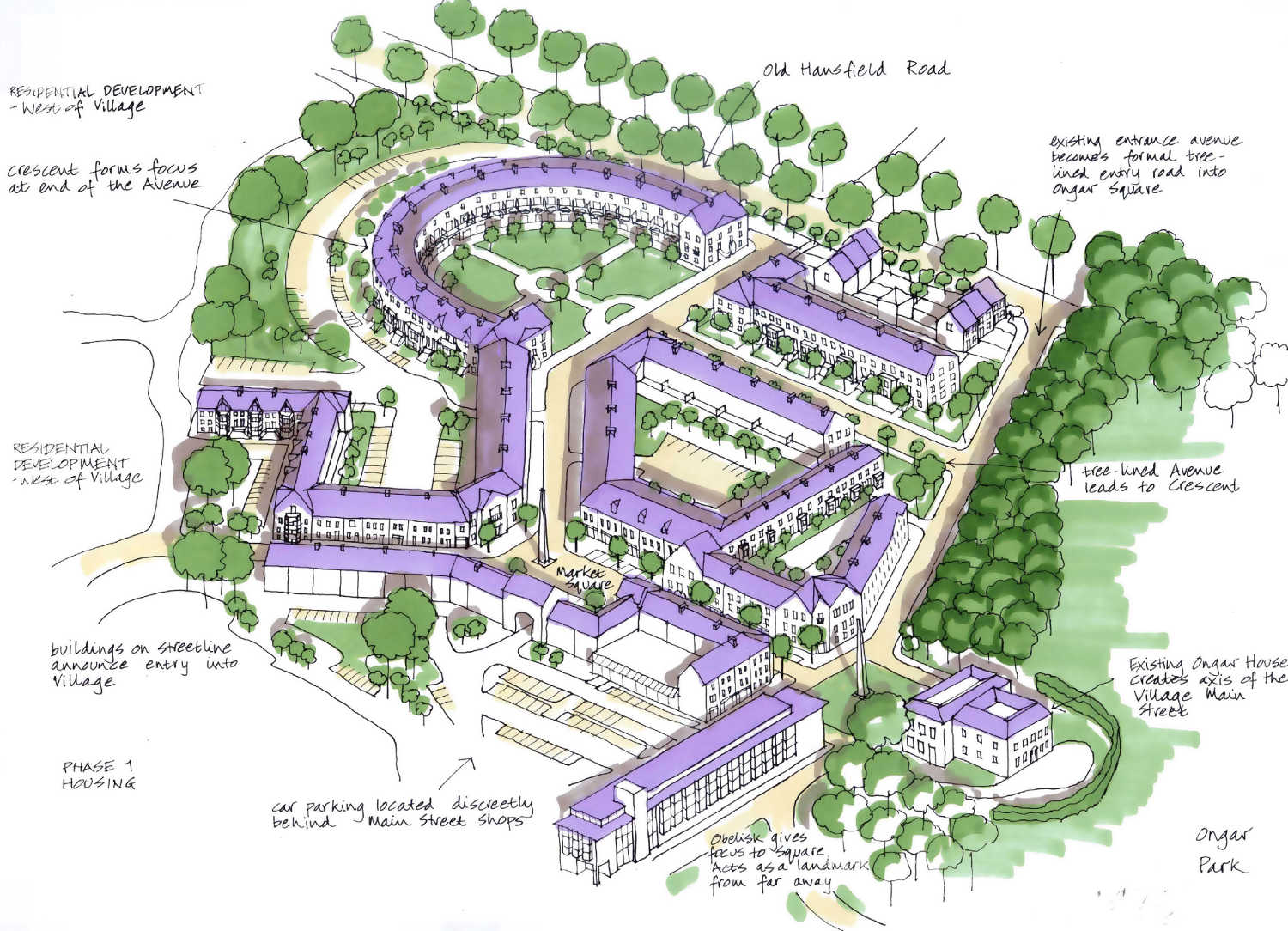
The development at Ongar involved the creation of a master plan for greenfield lands on a former stud farm, located between Clonsilla and Clonee on the Dublin/Meath border. The project was jointly designed with O’Mahony Pike Architects. A new village was proposed as the focus and identity for the overall lands, serving the new residential communities that were to be located to the west, south, and east.
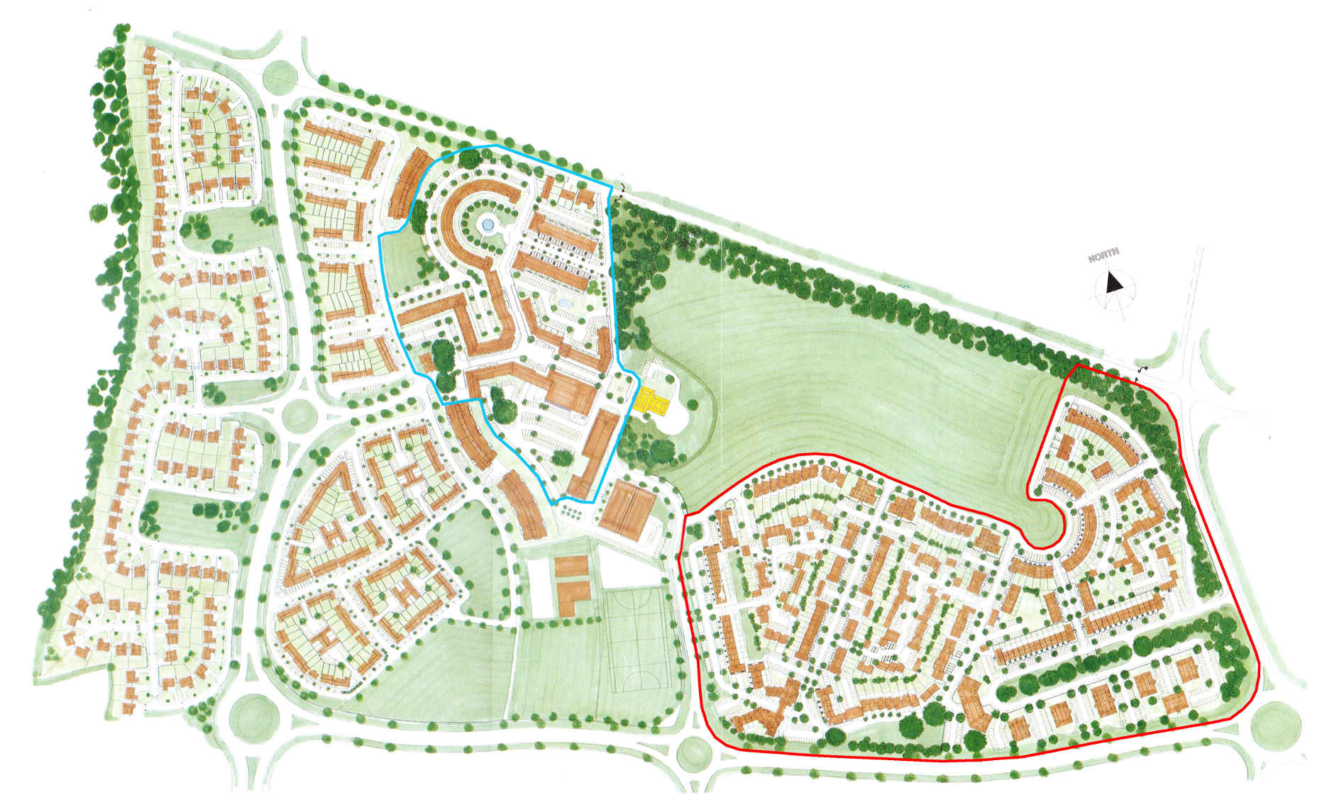 Ongar Masterplan – Village (Outlined in Cyan) & Ongar East (Outlined in Red )
Ongar House in Yellow
Ongar house is a Georgian-styled country farmhouse dating from the early 1800s. Its presence on an otherwise greeenfield site became the catalyst for the form of the village masterplan. The entrance front of the house addresses a new large Park that serves the overall lands. To the rear of the house a two storey extension replaces single storey structures, providing a new face onto the village square.
The main street of the village lies off this square on the axis of Ongar house. Residential and office accommodation is provided over street level shops along this route. The new village structure includes a perimeter urban block to the north of the main street and a tree-lined mall on the axis of a residential crescent. The bulk of the car parking is provided in the backlands to the rear of main street properties.
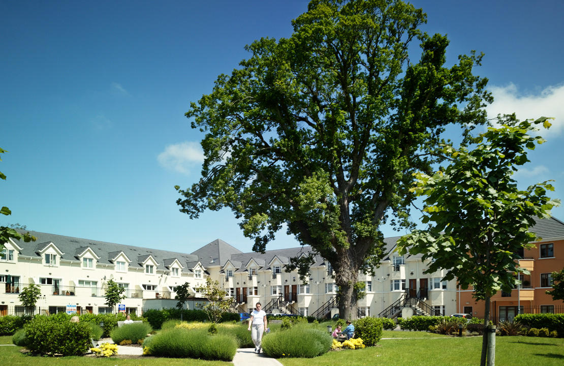
The residential development to the east of the village (Ongar park, Ongar Wood , and Ongar Lodge) was also designed by Conroy Crowe Kelly. The scheme relates directly to the park and thus also focuses on the new Ongar Village. The layout has created a walkable neighbourhood that is safe, pleasant and convenient to use, creating a strong sense of community.
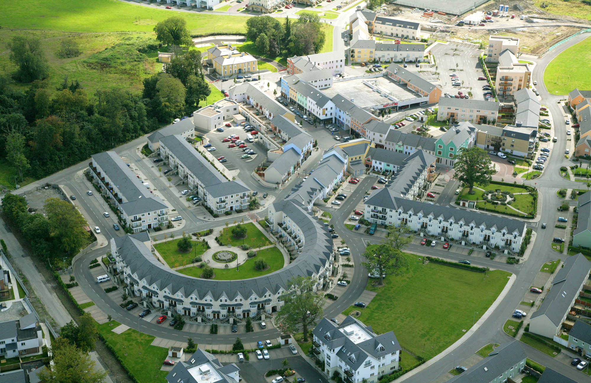
The movement pattern is simple and direct. A principle route along the park edge terminates in a crescent that addresses Ongar House and village to the west. Off this main route are primary routes of a more formal character lined by terraces with apartment buildings positioned at focal points. The strategy for the residential block structure was the creation of informal cores behind the formal outer fabric.
Permeability
Streets in the centre of the blocks are characterised by clusterings of houses in mews style settings. This secondary network of streets allows maximum permeability throughout the neighbourhood. The layering of formal and informal fabric has been applied to all the residential urban blocks consistently throughout the scheme, contributing to the legibility of the whole residential area.